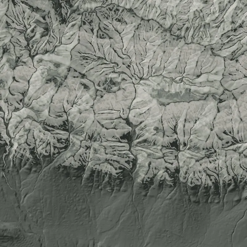
The USGS likelihood model we show beside our ranking.
See on the Research page →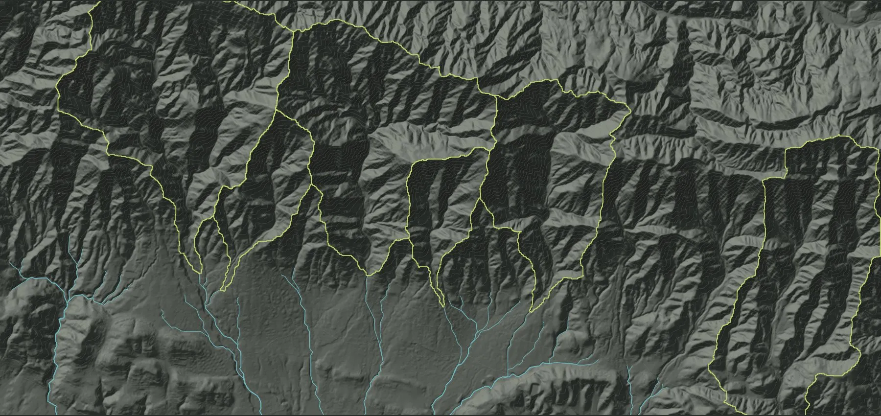
Runout Labs ranks the canyons on a burn scar, names the roads, crossings and pipes below the worst ones, and flags the storms that matter for the next eight years.
Burned slopes shed rain instead of soaking it up.
The same slopes, six weeks apart. Drag the line to compare.
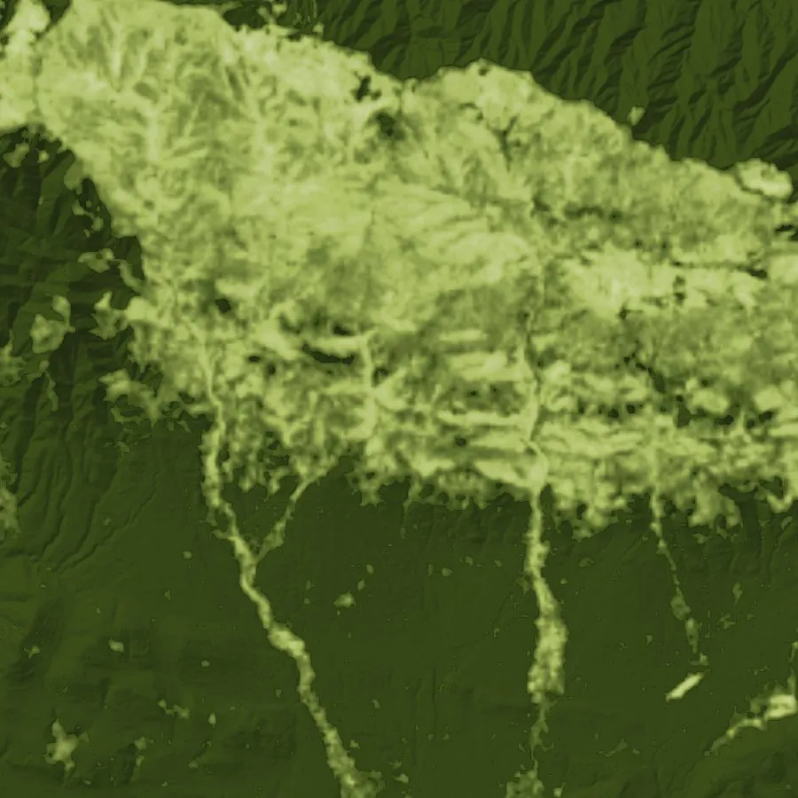
We measure burn severity on every slope from satellite images.
A short burst of intense rain is enough to start it.
Radar over the Montecito front, 3:09–3:48 AM, Jan 9, 2018. Higher dBZ means heavier rain.
We track the storms forecast over your top-ranked canyons.
Runoff picks up soil and rock as it funnels into the canyons.
Share of the canyon area above the slope USGS uses for debris-flow likelihood. 10 m USGS 3DEP.
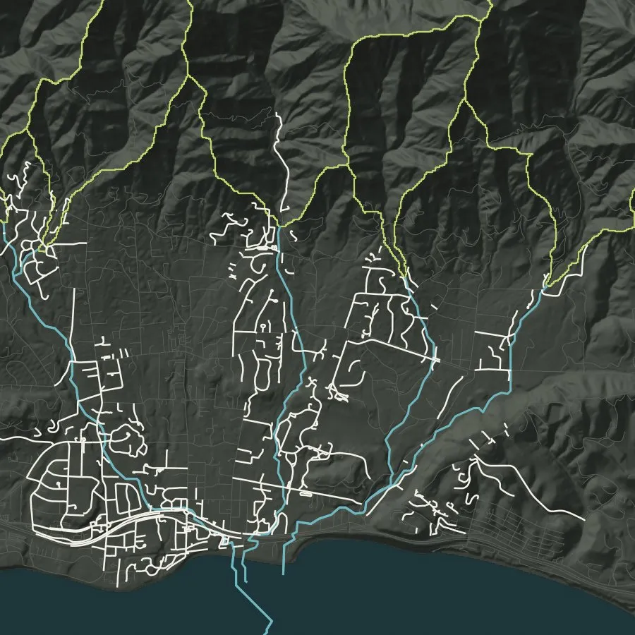
We order the canyons below the scar, first to last.
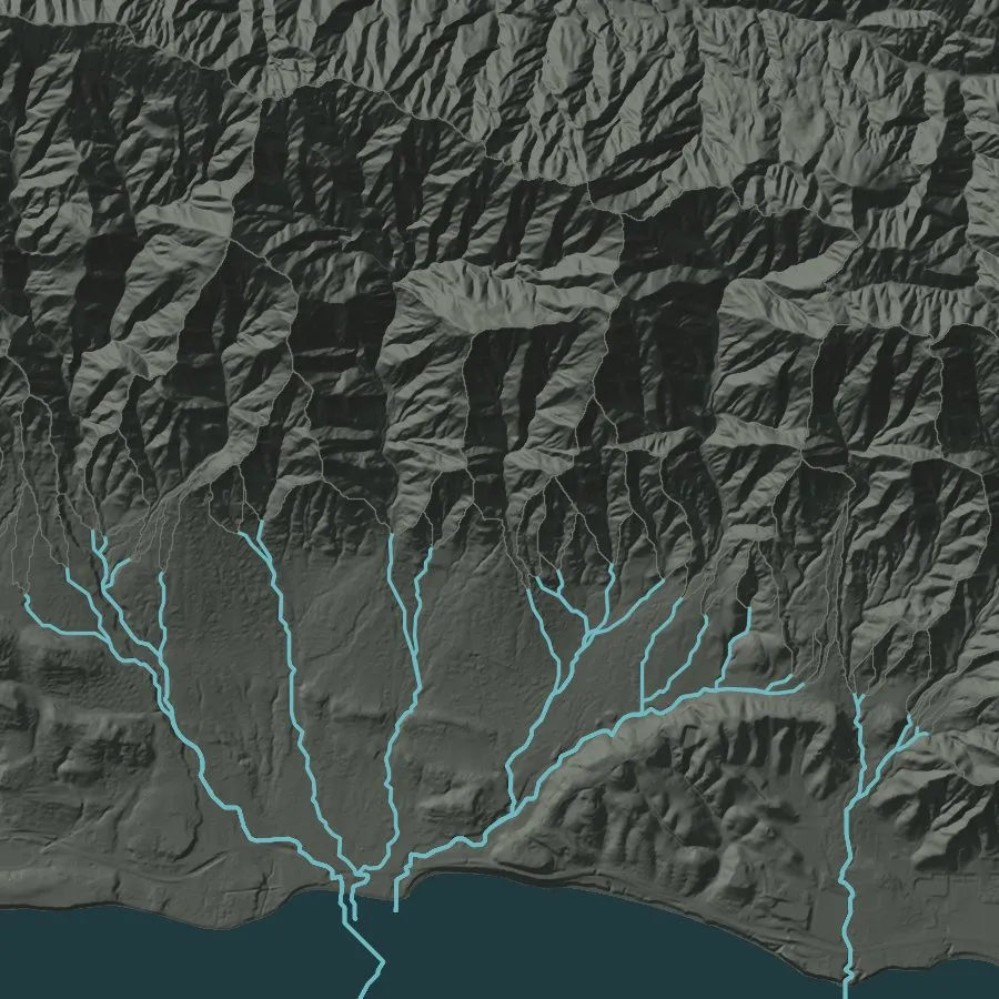
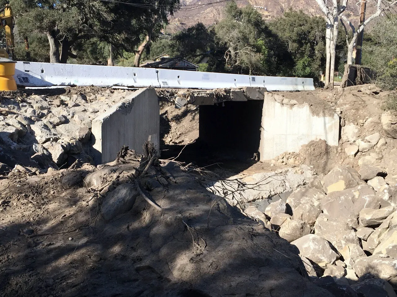
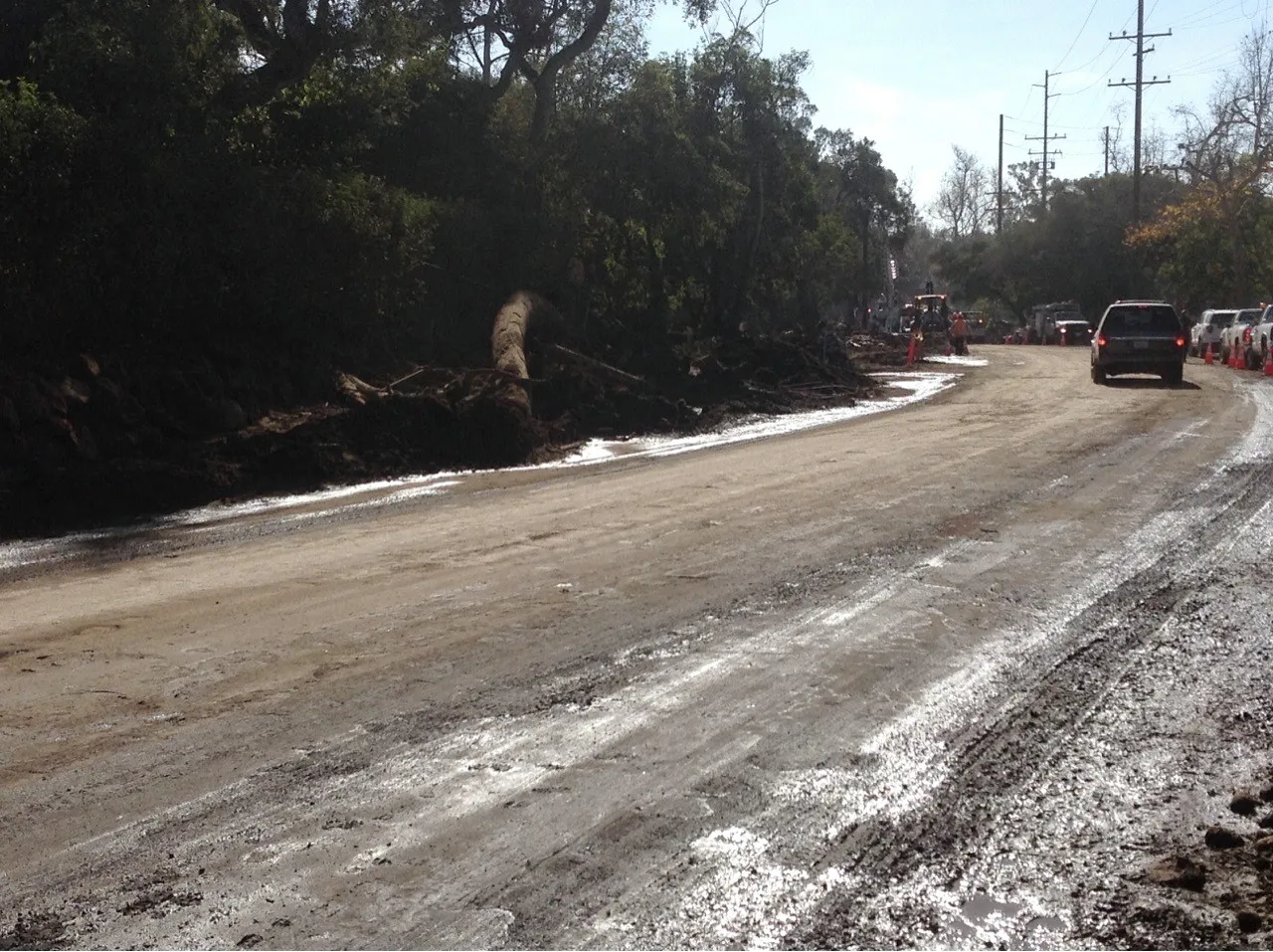
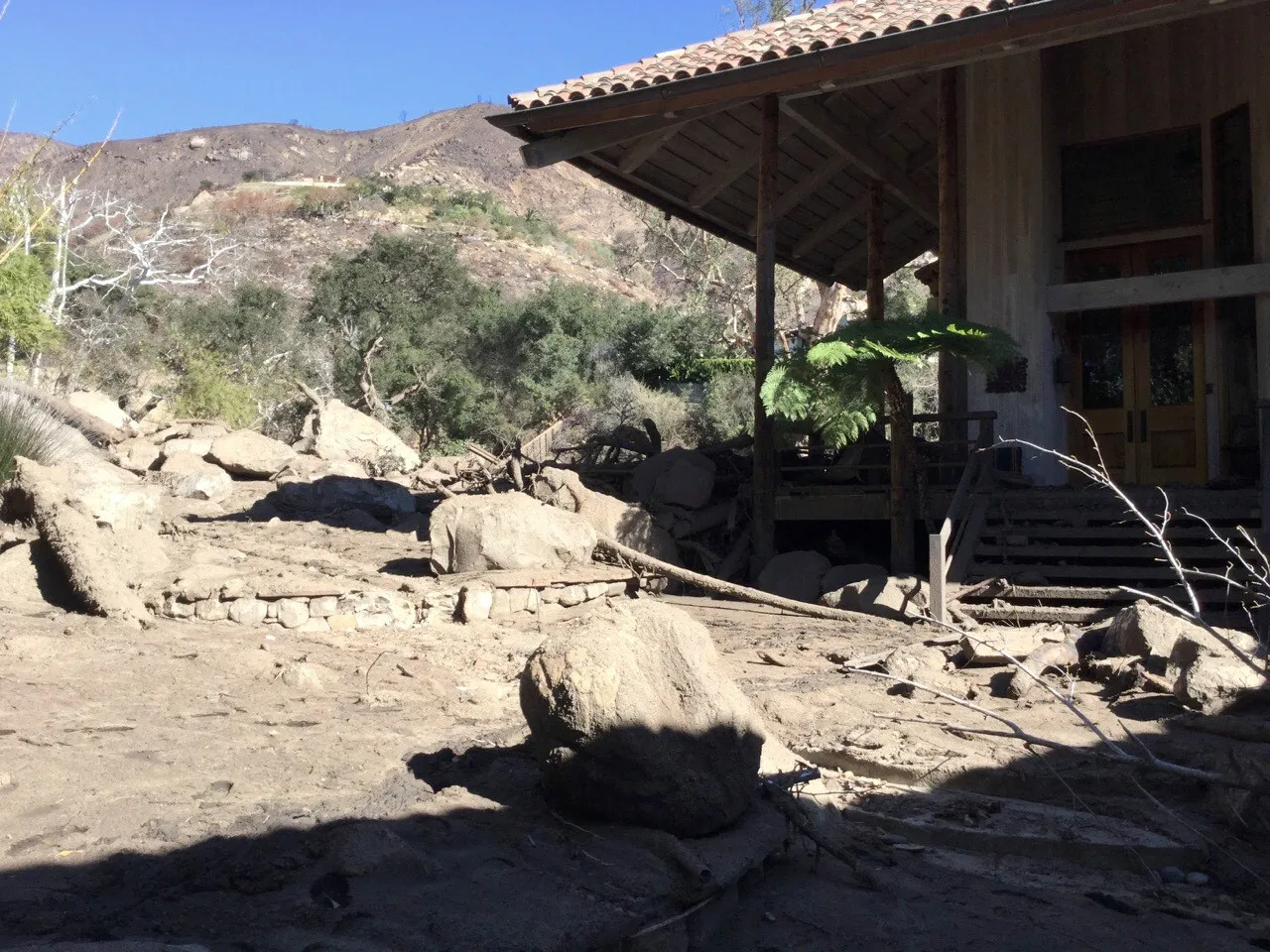
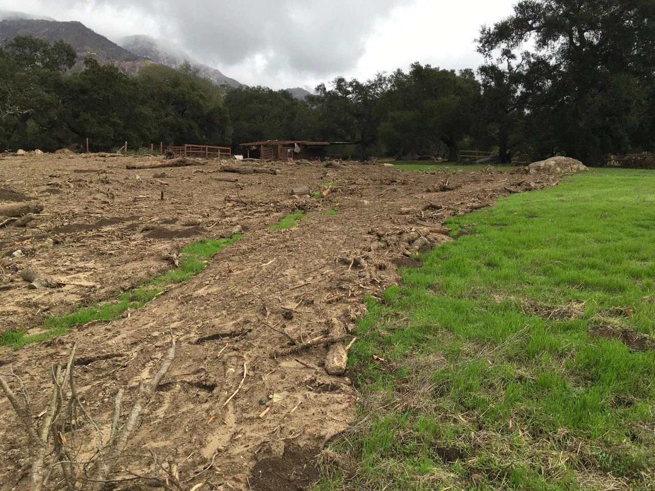
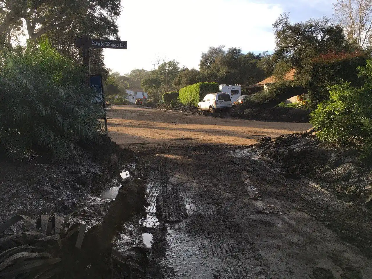
Where the canyon opens, the flow spreads onto roads, pipes and homes.
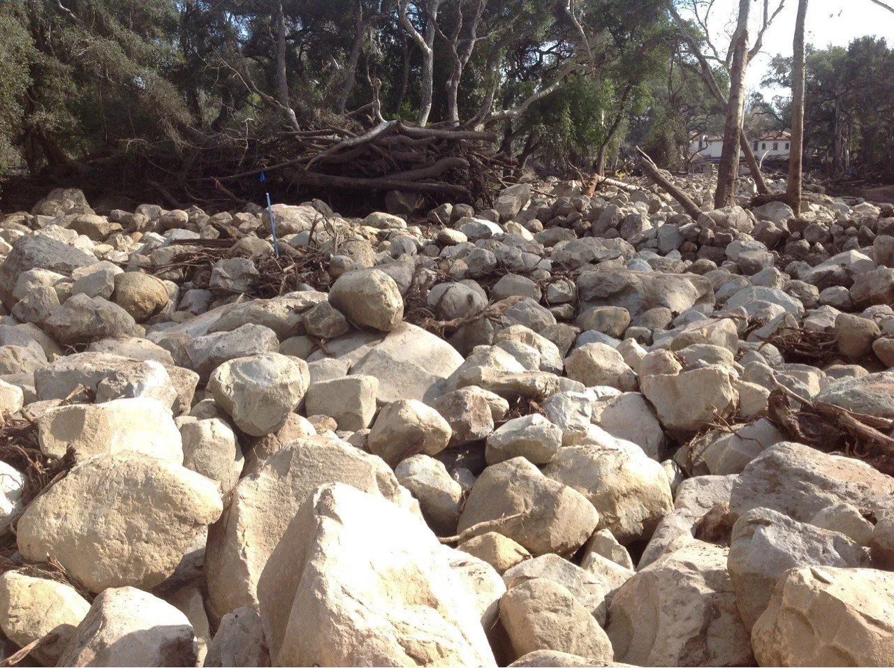
Of 558 inspected in CAL FIRE's damage survey after Jan 9, 2018. USGS mapped 3.5 km² of debris-flow inundation.
We name the roads, pipes and buildings below the worst canyons.
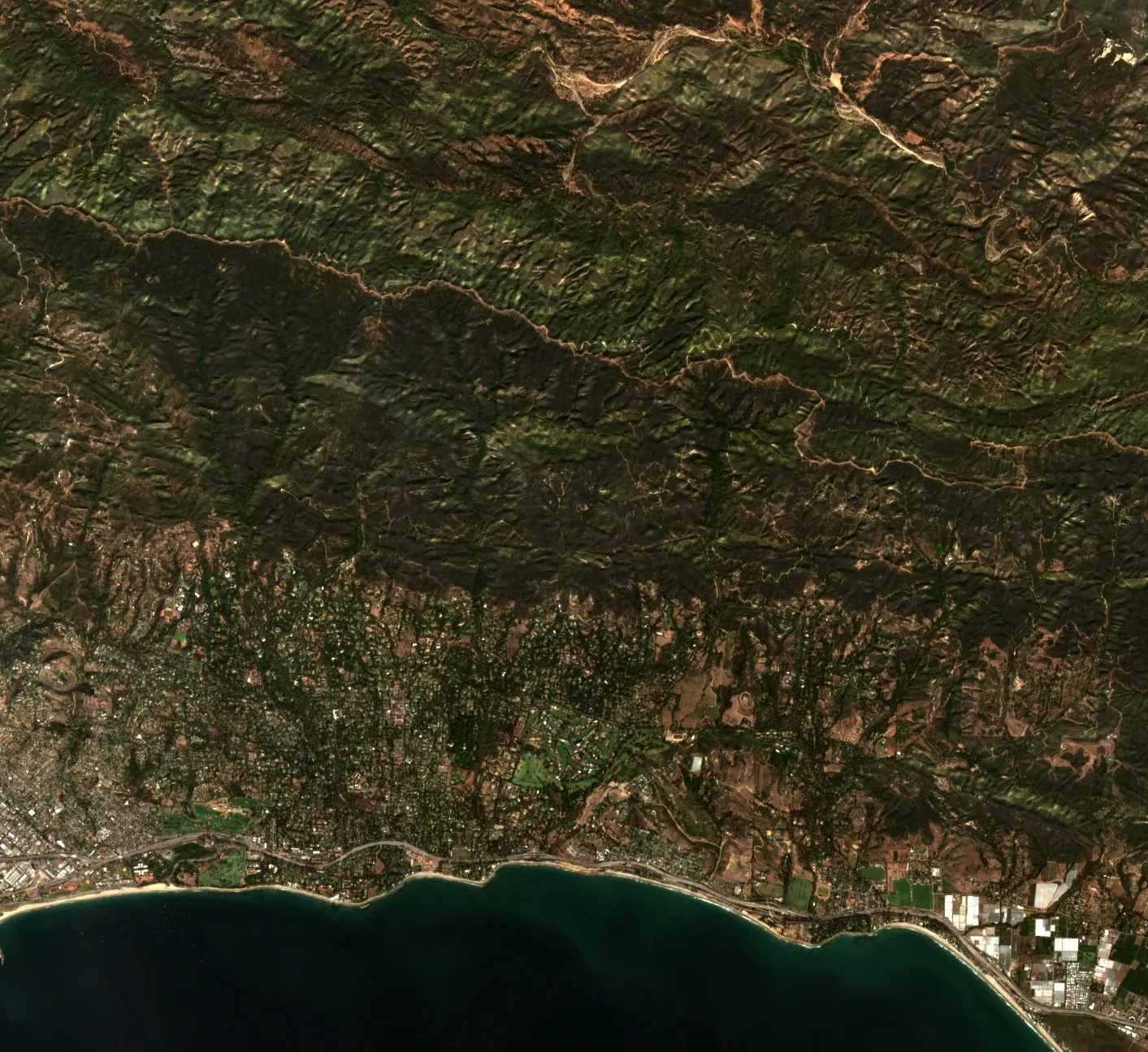
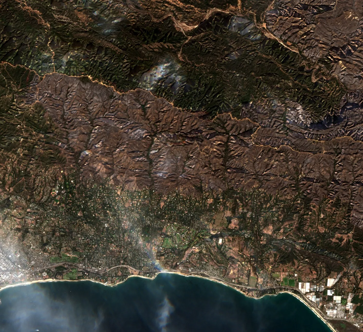 Nov 13, 2017Dec 28, 2017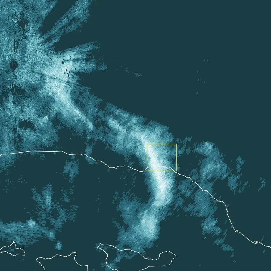
 Sentinel-2 true color · 10 m · Nov 13 and Dec 28, 2017
USGS and federal BAER teams assess a scar right after the fire. We rank which of your roads, crossings and communities sit below the worst basins, then watch the storms over them for the life of the scar. A person checks every message before it goes out. See what a watch covers.
 01 · ScreenScreen the scar
 03 · BriefBrief your team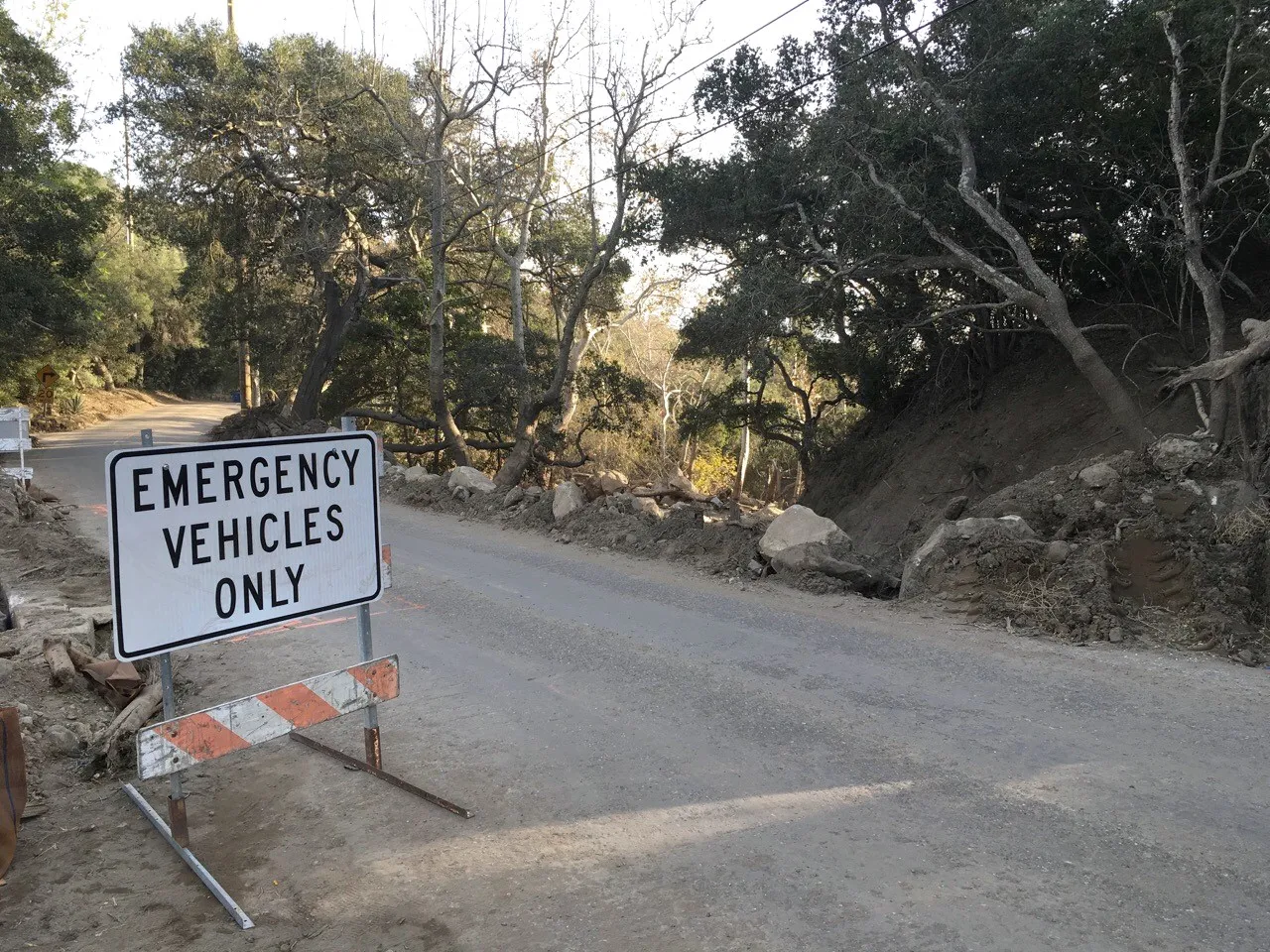
 Drag to turn
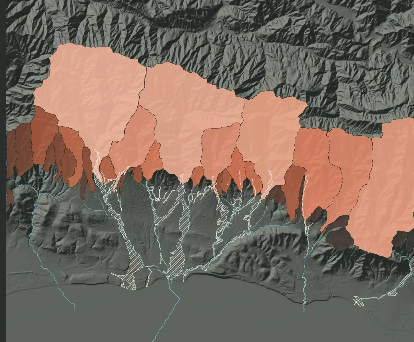
Elevation: USGS 3DEP 10 m, vertical exaggeration 1.6×. Burn severity: 30 m Landsat 8 dNBR. 2018 flow extent: USGS (Kean et al. 2018).
We ranked the 36 canyons on the Thomas Fire scar, then checked the ranking against the USGS record of which ones flowed. Every canyon that flowed was in the top third.
Ground truth: Kean et al. 2019, Geosphere. Within-fire ranking, not a probability.
The USGS likelihood model we show beside our ranking.
See on the Research page →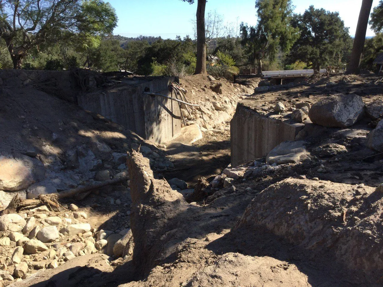
The record of which Montecito canyons flowed. Our ground truth.
See on the Research page →How burn severity is measured from satellites.
See on the Research page →General Terrain builds tools for the hazards that follow the shape of the land. Runout Labs, for post-fire debris flows, is the first.
 Division 01 · Post-fireRunout LabsMeet Runout Labs →
[Owner writes: one paragraph.]
15 minutes to walk you through what the screen shows and see if it could help.
Book a walkthrough